Land surveying
Implementation plan and certificate
The implementation plan is an essential document for the realization of your construction project. It must be given to the municipality before the building permit is issued. Thanks to our surveying expertise, we can produce a plan that represents the location of the future construction. When preparing the implementation plan, we ensure that your project complies with the regulations in place.
Once your construction is complete, our land surveyors will re-visit your property to prepare an implementation certificate. This document gathers all the data related to the exact dimensions of the land, the construction, and the limits and confirms the implementation in compliance with the permits issued.

Picketing
Whether it is to install a fence or to know the maximum dimensions your expansion could have, it is crucial to know with certainty your land's boundaries. Our land surveyors use their expertise to accurately target the area.
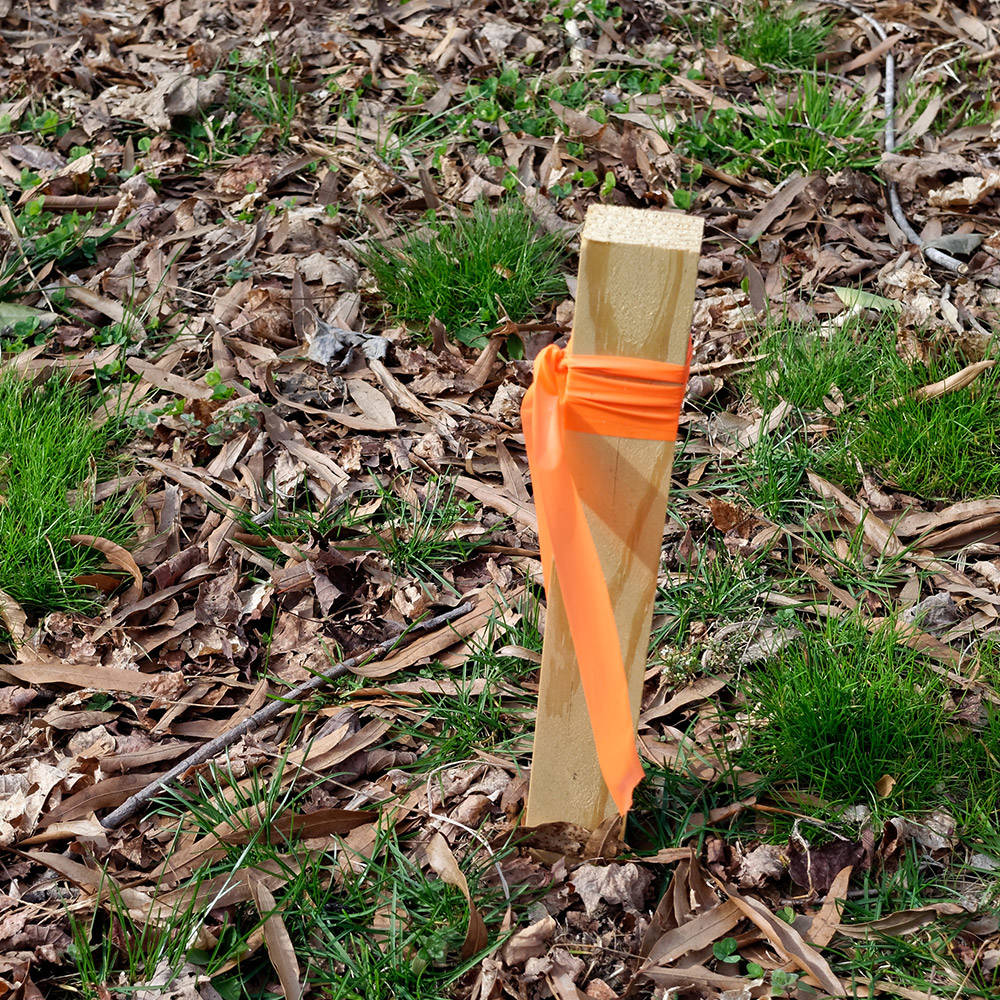
Once we have gathered all the information required to carry out our picketing work, we go on-site and use pickets to indicate the limits.
Thanks to picketing, you will be able to landscape your land without encroaching on your neighbors' land. Examples of projects where picketing is a valuable tool include:
- Construction of a garage
- Setting up a low wall
- House expansion
- Installation of a hedge or fence
- Pool installation
Whatever your project, our team of professional land surveyors will be able to carry out your picketing operation in compliance with domain standards.

Bounding
As with picketing, demarcation is also done through a land surveyor. However, this operation is carried out when two neighboring landowners wish to definitively establish the boundaries of their two contiguous properties, thus allowing them to know where the land begins and where it ends. There are two different types of terminal blocks.
Amicable demarcation
The demarcation is done amicably when the two neighbors, by mutual agreement, hire a land surveyor to draw the lines of the properties by placing boundary markers and to prepare a demarcation report that will be signed by both owners and the land surveyor and published in the Rights Advertising Office. This will make the boundaries final.
Judicial demarcation
Legal boundaries occur when the two landowners do not agree that they need to carry out the demarcation, on the location of the dividing line between their holdings, on the conclusions of the surveyor's report, or simply on the surveyor's choice. In this context, one of the parties may petition the Court to have a land surveyor appointed to carry out the demarcation operations or for the Court to rule on the professional's report and decide on the dividing line.
Our land surveyors are at your disposal to travel to proceed with the demarcation of neighboring properties and to accompany you the Court, if necessary.

Subdivision of land
When a change is made to a piece of land, whether by amalgamation, expropriation, or division, it must be documented in the Quebec land registry. In a real estate project, the subdivision and subdivisions are used to present property on a detailed plan and define it by a lot number. This plan compiles all information relating to the dimensions, position, and area of the property.
Our land surveyors work meticulously to gather all the necessary information, prepare all the documents, and send them to the cadastre so that they are formalized.

Let us help you with your project!
Our land surveyors have many years of experience. We are therefore able to provide you with documents that correspond to high-quality standards.
